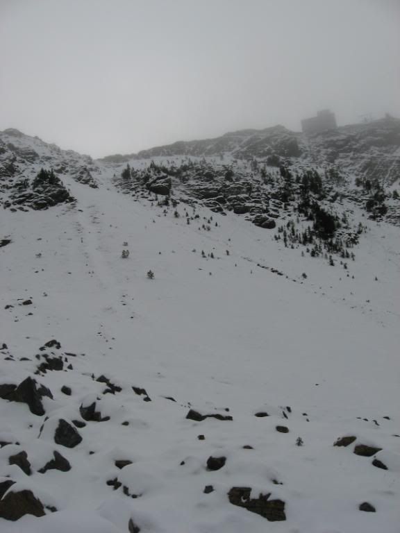
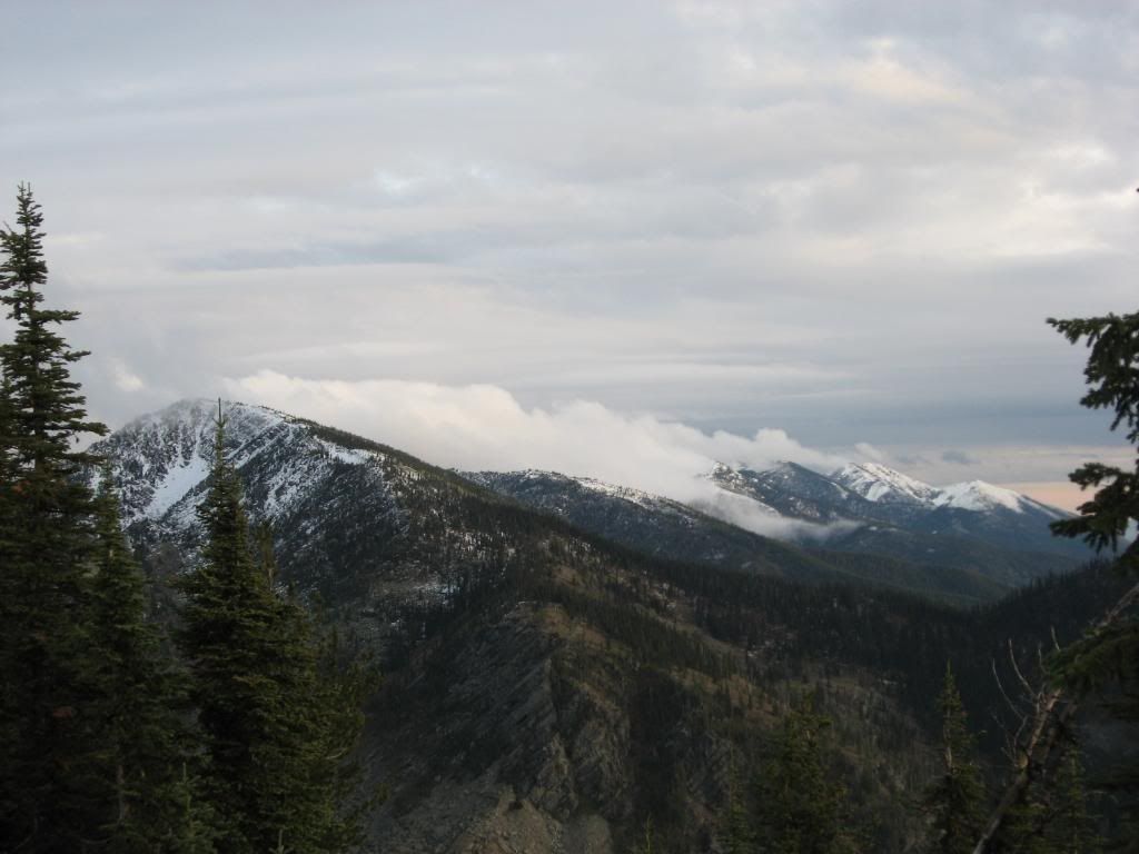
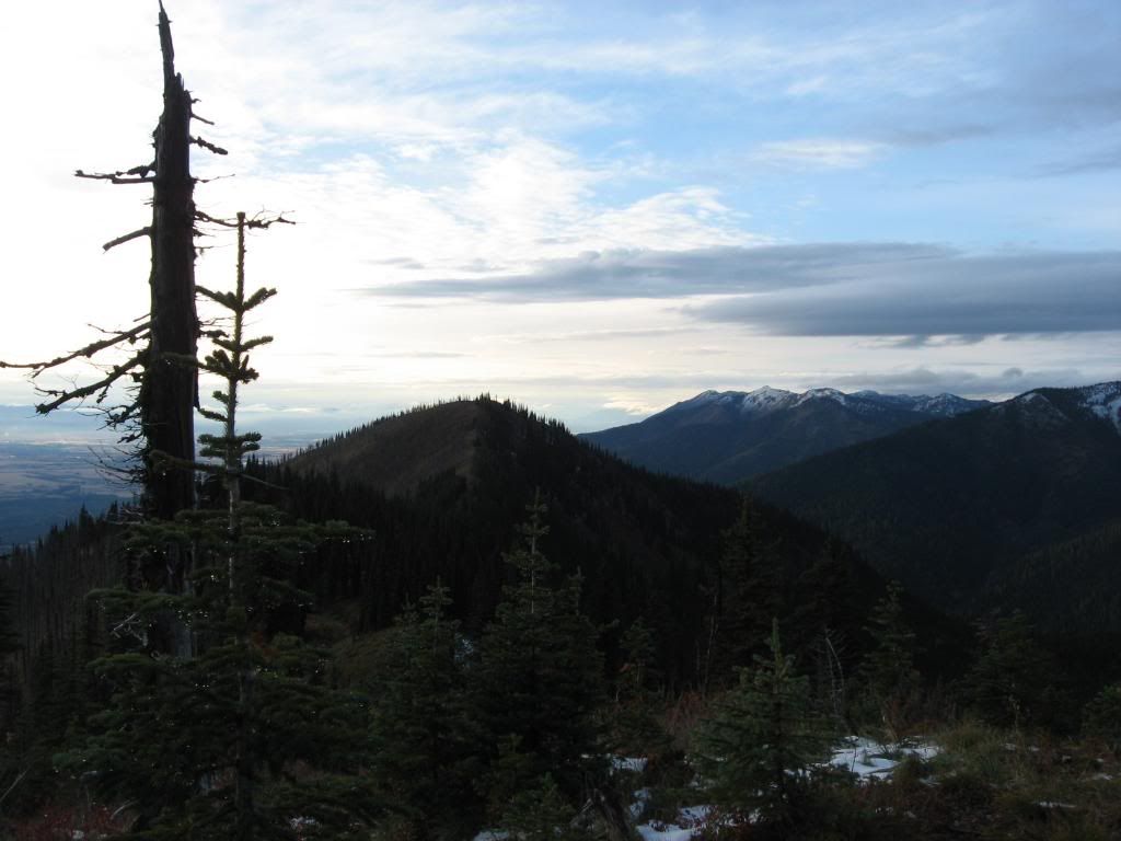
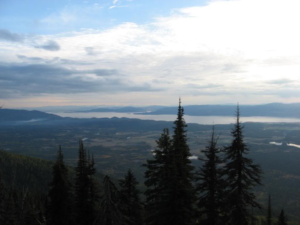
There's snow in the mountains, and I decided that I wanted to go ski it. I figured, since there wasn't snow all the way down to the valley, that my best bet would be to go to up high in elevation. So, I picked the highest peak in the vicinity: Mt. Aeneas.

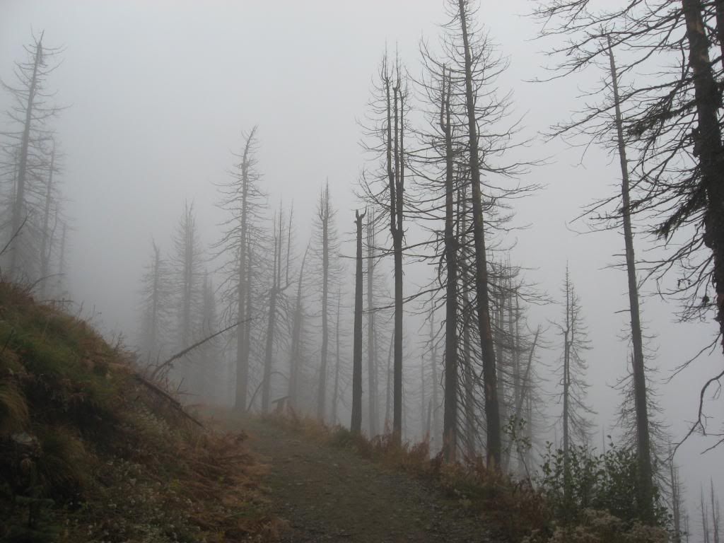
An eerie hike up in the clouds.

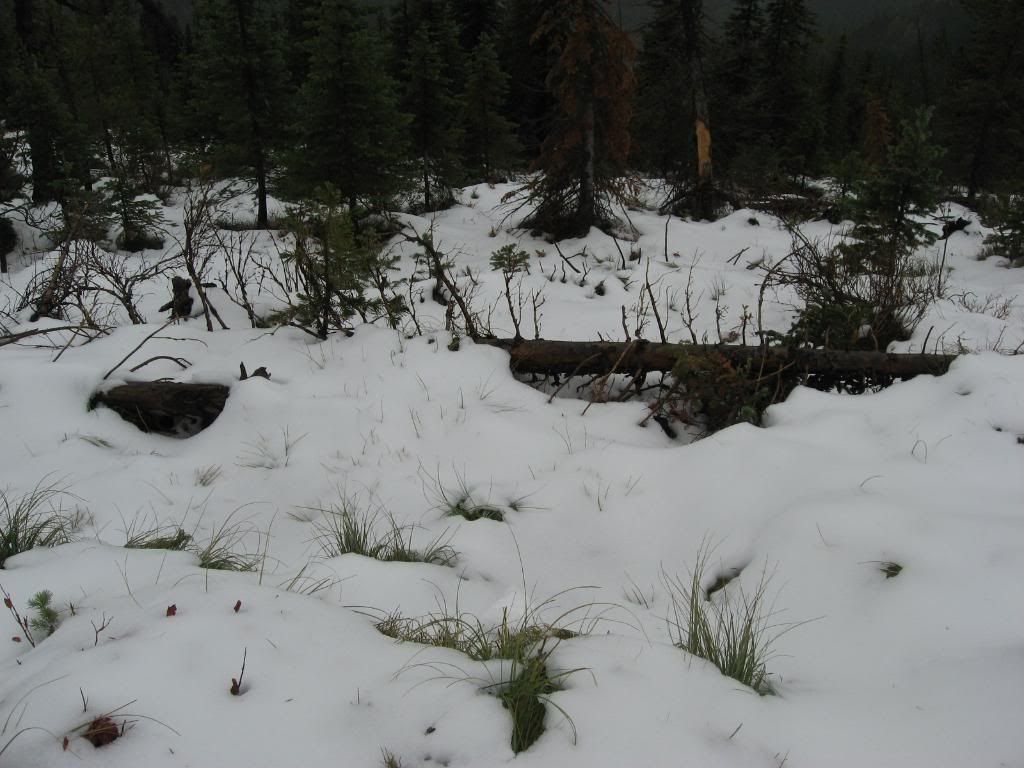
Starting to get up high enough to see some snow.

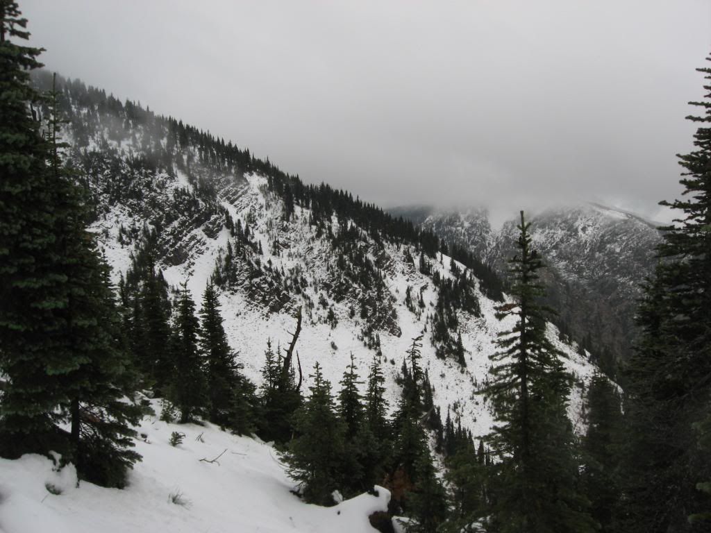
More snow.

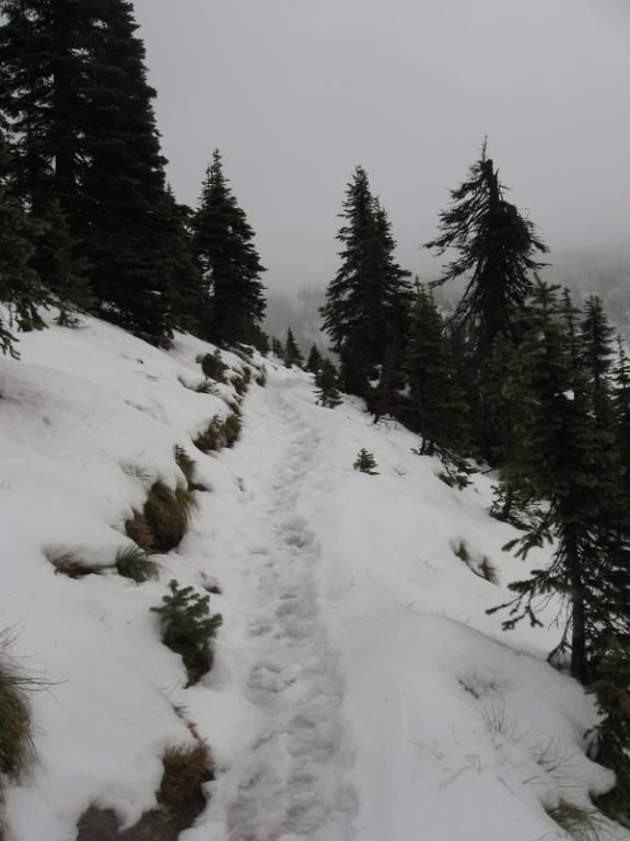
The trail I was hiking up.

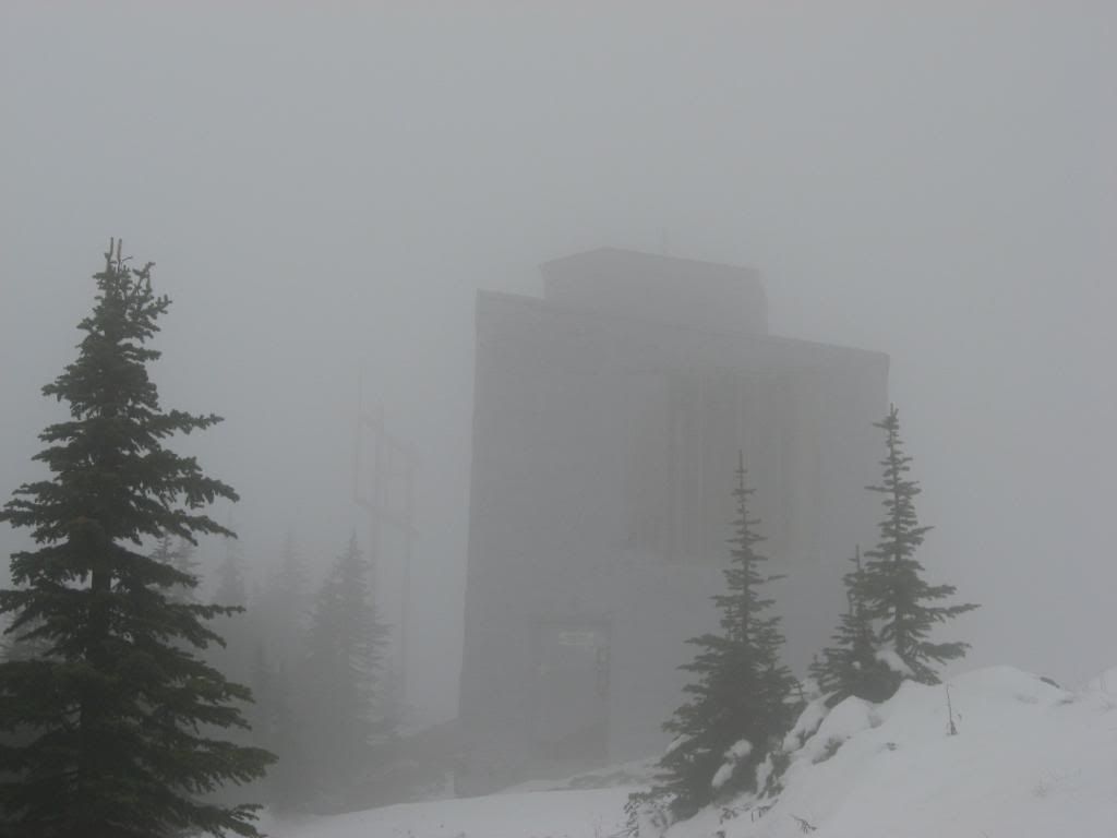
The microwave tower appears out of the fog.

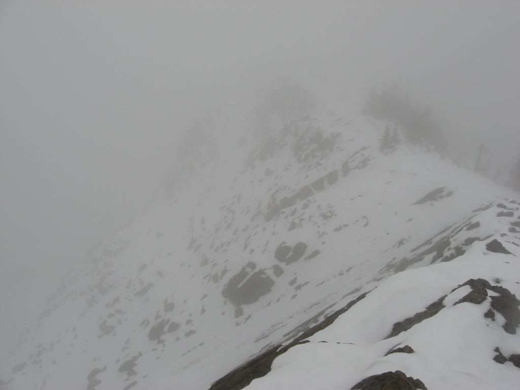
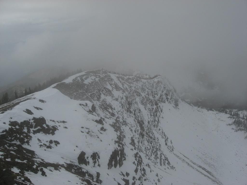
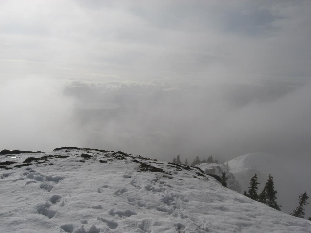
The ridge that I am going to hike down.

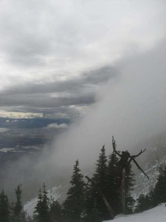
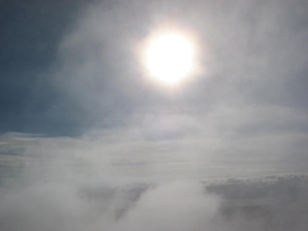
The clouds blowing around, partially revealing the valley.

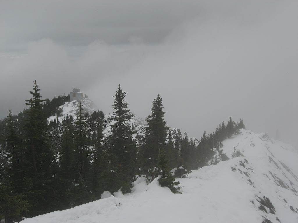
Looking back along the ridge at the microwave tower.

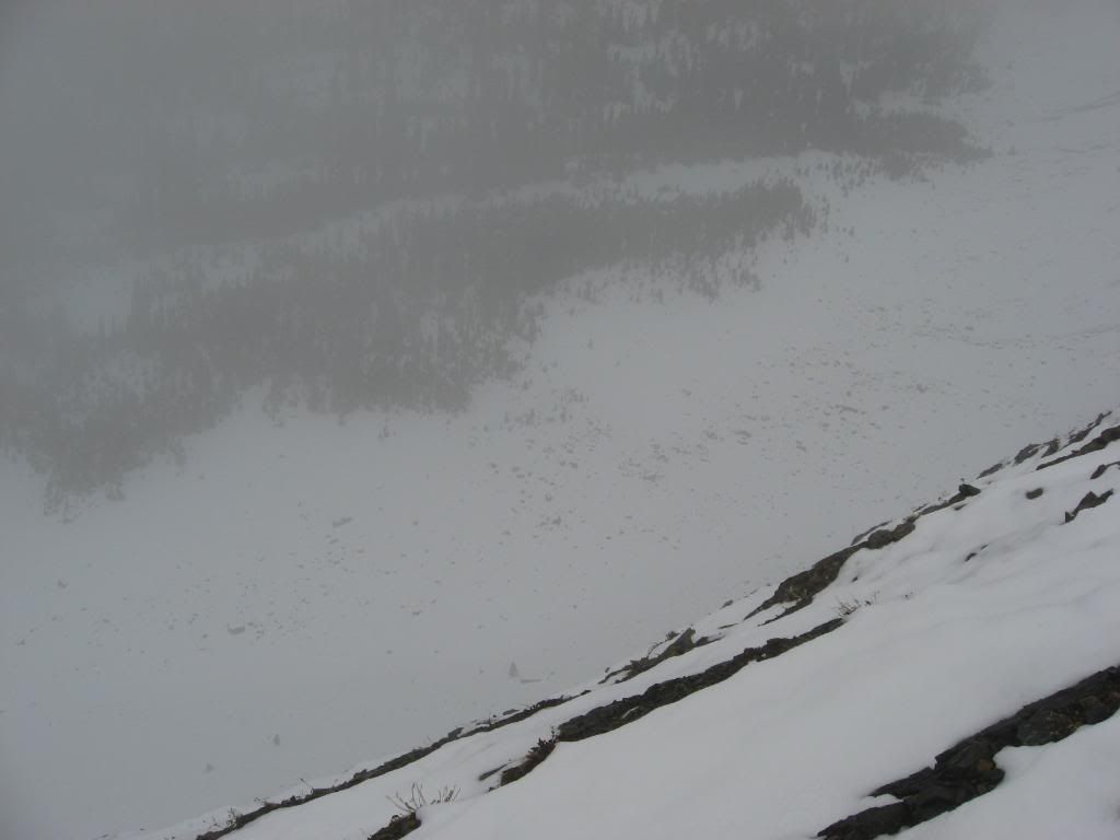
Looking down into the basin area off the northerly side of the ridge. (I end up skiing down and hiking back up this side of the ridge.)

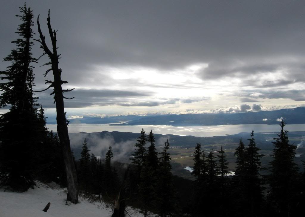
In my opinion, a
very sweet photograph. The clouds partially cleared, allowing a view back into the Flathead valley, overlooking Flathead Lake.

A shot, again looking back along the ridge that I had just hiked. This is the northerly side that descends into the basin-like area that you saw 2 shots earlier. This is what you were looking down.

I finally made it to the top.

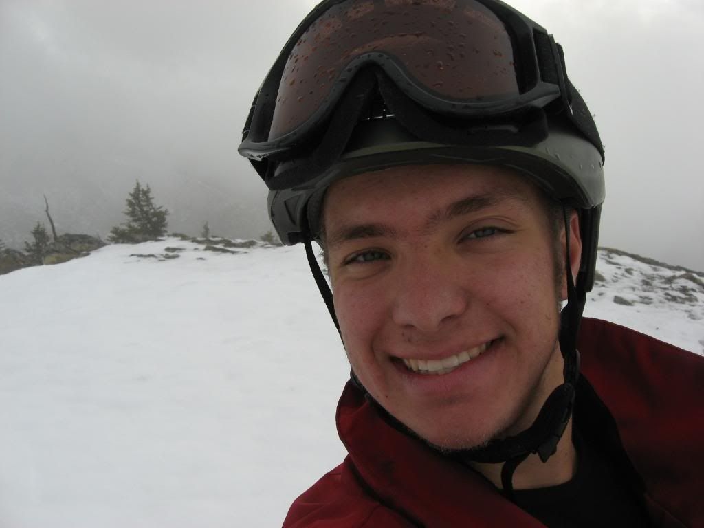
Me smiling at the top of Mt. Aeneas.

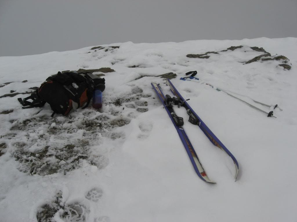
My gear. (My ski boots are stuffed in my backpack.)

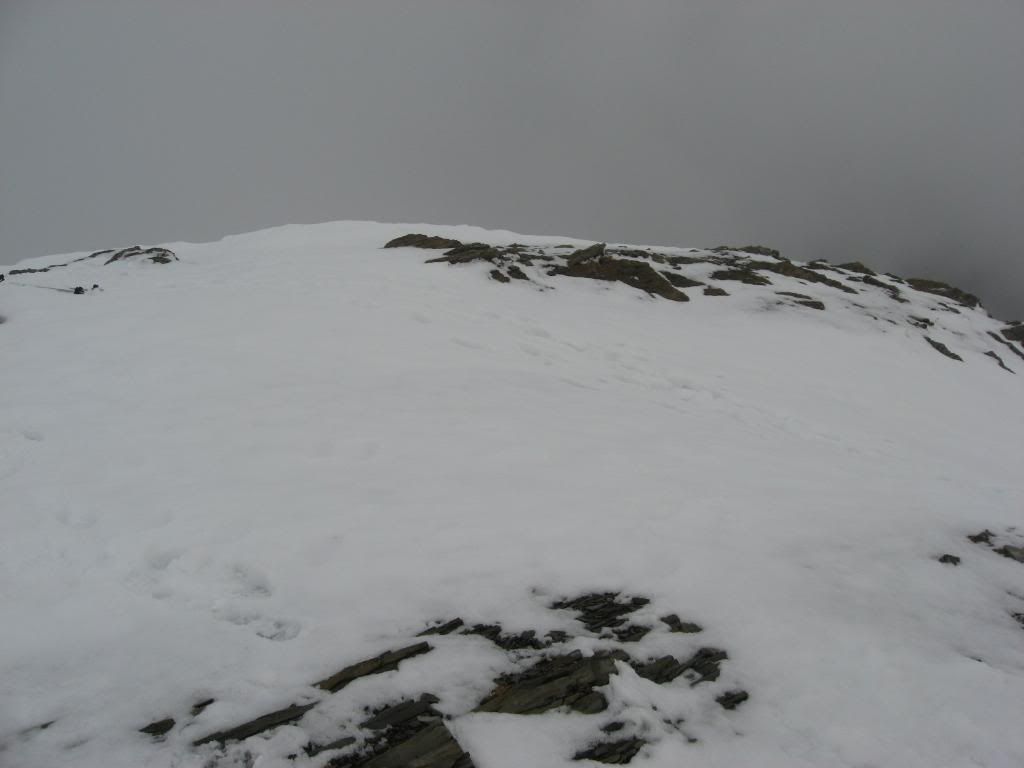
The top of Mt. Aeneas. (Note the amazing view.)

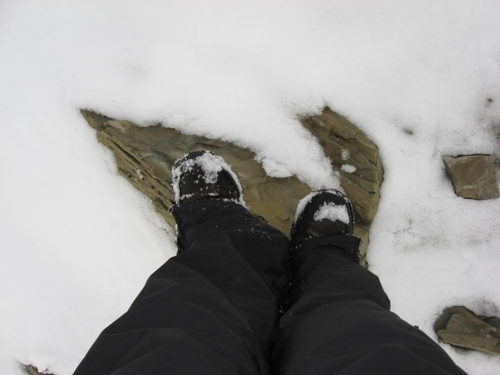
My feet at 7,528 feet.

My gear, and the top of Aeneas: a different angle of the clouds.

The clouds begin to clear a little.

The ridge in the clouds.

Clearing up.

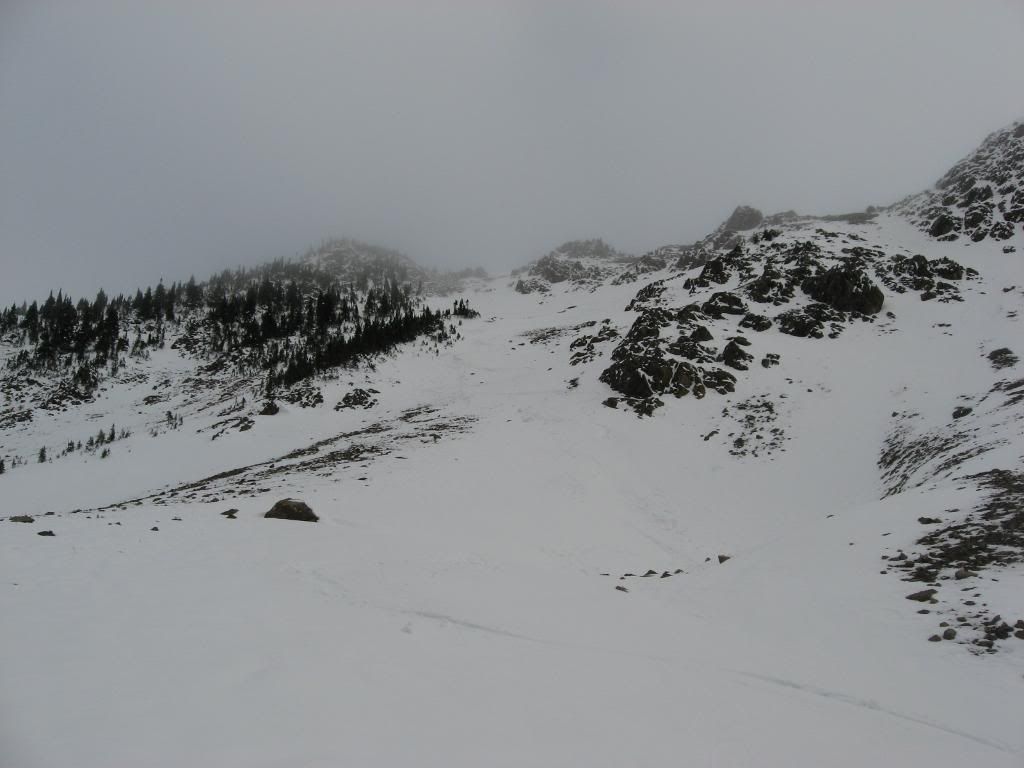
The main line that I skied. Click on the picture and go to the largest view, you should be able to make out my tracks. Judging by the topo map, it was about a 500 ft. vertical drop from ridge to valley. After that line, I hiked about halfway back up the ridge a bit over to the right, and skied down again.

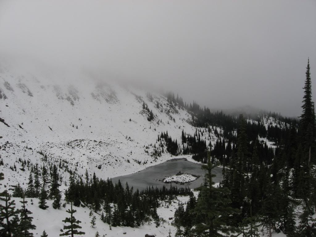
After that, I traversed/skied down the valley to the lakes. I knew that the trail passed closed by the lakes, and I was contemplating either skiing down to it and trying to pick up the trail and hike it out, or hike back up and over the ridge to the initial trail I had taken up the mountain.

The path that I decided to take up the ridge. It was probably about a 500 vertical ft. climb, and it took me well over half an hour. It probably would have been quicker to attempt to pick up the trail at the lakes, but as it was so cloudy out, I would only have been navigating by map and compass. So I decided to play it safe and hike the ridge.

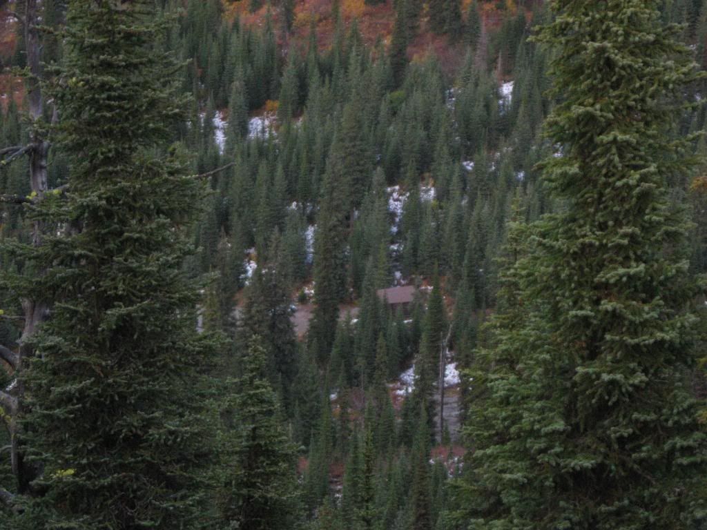
A photo I took on the hike out.

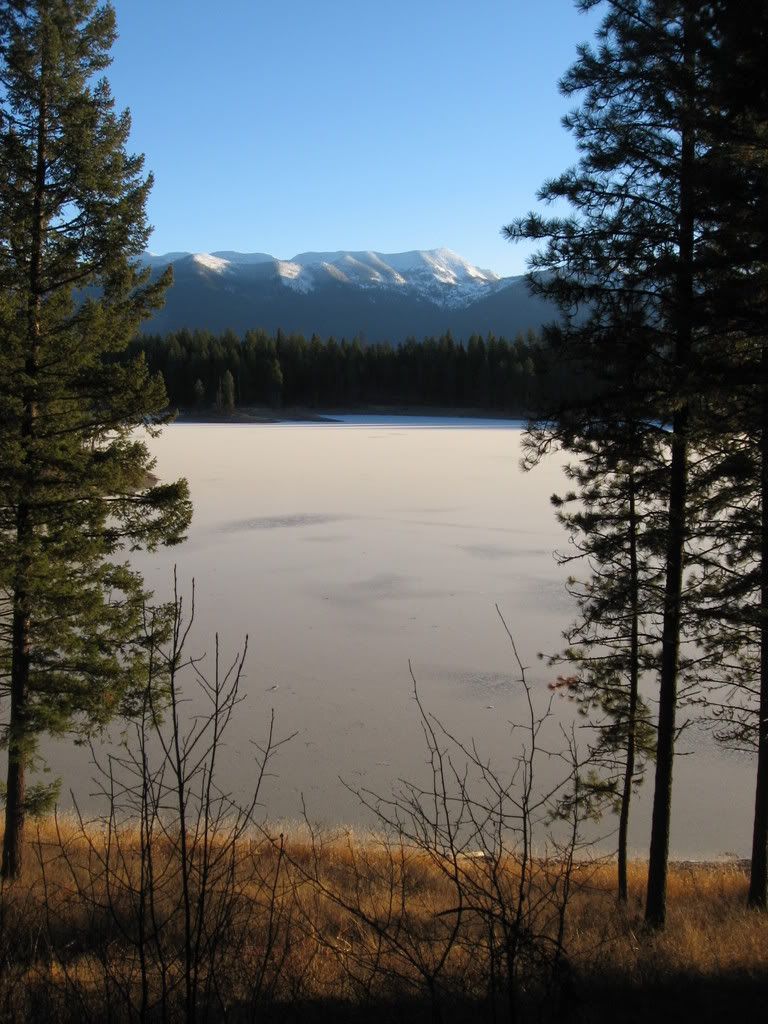
The sun reflecting off of Echo Lake, down in the valley.

Another shot taken on the hike down.

Flathead Lake.

I see my car! I'm almost out!

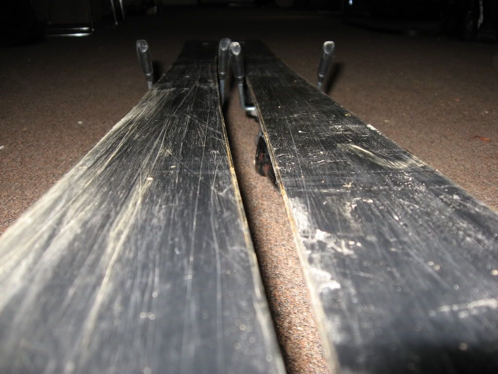
My bases, before.

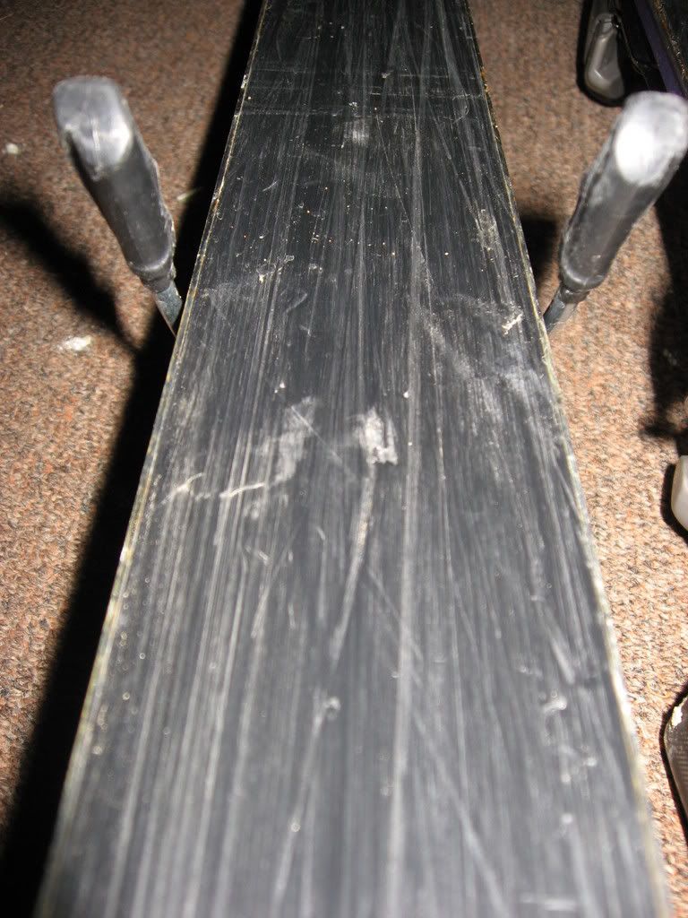
My bases, after.

Bases after.

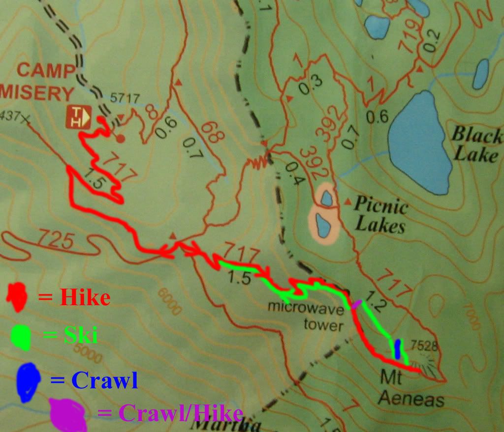
The route I took. (Click to see big version.)